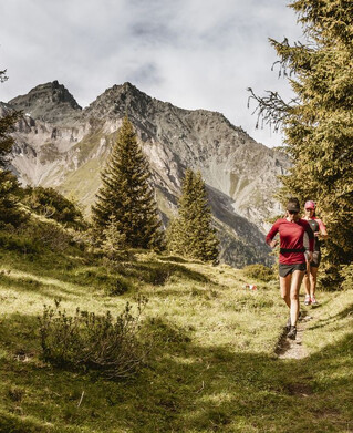
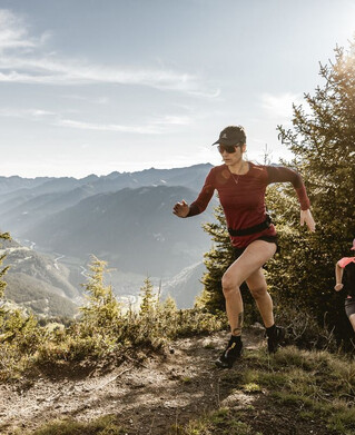
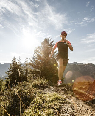
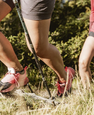
Running | Trailrunning
Trailrun - Radurschlklamm - Greit


The start is at the information office Pfunds, for warming up you can easily walk in to the district Dorf - Stampfau. There the actual trail begins. Over numerous wooden bridges, always uphill along the mountain stream until you reach the so-called "Bretterloch", keeping to the left and following the trail to Greiterstraße. (From there it is a five-minute stop on the right). Otherwise follow the road on the left for about 50 metres and turn right onto the forest path. Follow this to the end, follow the road uphill for about 50 meters and then turn right onto the path - follow this path back to the village.
Caution: in case of rain and wet: risk of slippage & rockfall!
Important Note status report!
Caution: in case of rain and wet: risk of slippage & rockfall!
Important Note status report!
tour1
428m
8.8km
Highest point
1394m
Start point
Infobüro Pfunds
End point
Infobüro Pfunds