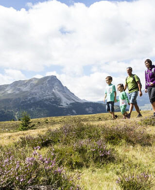
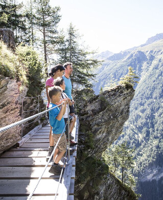
Hiking tour
Glockturm


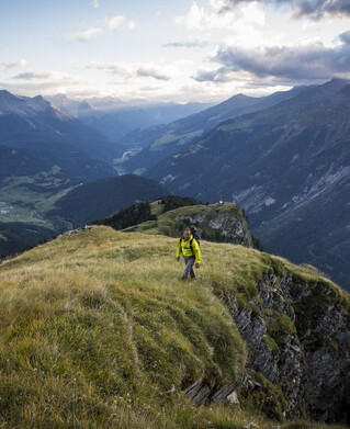
From the Hohenzollernhaus in Pfunds the path starts on the right bank of the stream. The path continues up the serpentines on the left, slightly ascending to the Hüttenkar (glacier mo-raine). Below the Bruchkopf and the Rotschragenspitze, the trail continues to the Hüttenkarferner and up to the glacier (crampons and sticks are essential). After a somewhat steeper start, the trail climbs up to the Riffeljoch 3,146 m, where you have the opportunity to see the neighbouring valley/Kaunertal for the first time. Over the north ridge up to the summit at 3.356 m, the highest point of the community Pfunds. Rewarded by a tremendous panoramic view of the Ötztal Alps, the Ortler Massif and the Bernian Group, the Silvretta Group and the Verwall Group. There is the possibility to reach the Kauntertal Glacier Road via the Riffeljoch into the Riffeltal.
Tip: every Tuesday a hiking bus goes to the Radurschl
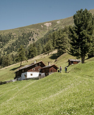
Refreshments: Radurschlalm, Hohenzollernhaus
Overnight accommodation: Hohenzollernhaus
Tip: every Tuesday a hiking bus goes to the Radurschl
Refreshments: Radurschlalm, Hohenzollernhaus
Overnight accommodation: Hohenzollernhaus
tour2
4.5:0h
1142m
6km
Highest point
3260m
Start point
Hohenzollernhaus
End point
Glockturm