Hiking tour
St. Ulrichskopf


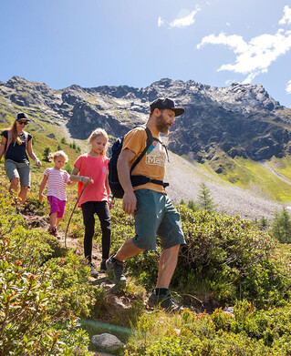
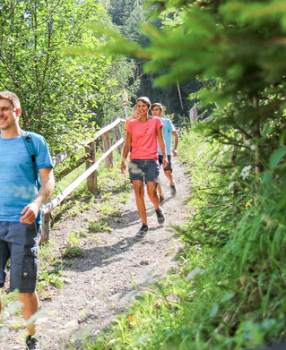
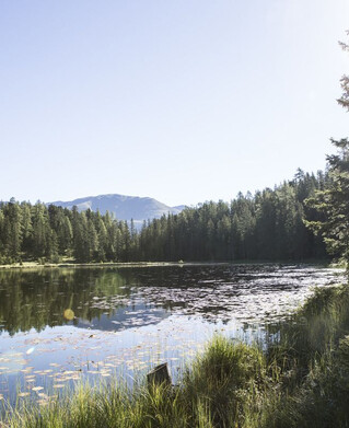
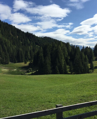
Drive to the Radurschl to the Kaltenwirt car park. Here the path starts off to the right into the forest, after which the path branches off to the right, always following trail marker No. 26. Past the drinking water spring of Pfunds. Follow the markings to the Lukaskreuz and continue towards St. Ulrichskopf Nr. 27. On this path, which is crowned with the mountain path seal of approval, you will find a variety of mountain flowers and
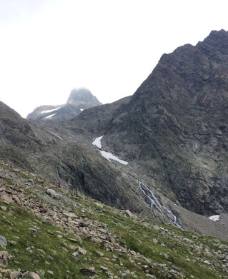
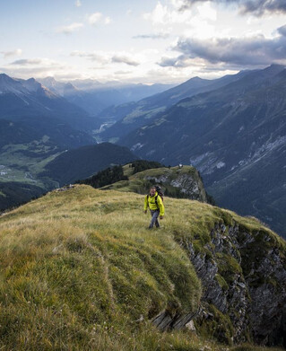
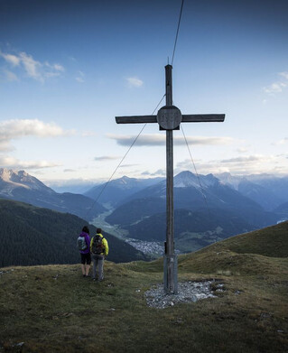
to admire the medicinal herbs. Belied by bells of the grazing cattle of the Saderer Alm. The summit then offers an excellent view. The descent follows the same path to the Kaltenwirt.
Tip: every Tuesday a hiking bus leaves for the Radurschl
to admire the medicinal herbs. Belied by bells of the grazing cattle of the Saderer Alm. The summit then offers an excellent view. The descent follows the same path to the Kaltenwirt.
Tip: every Tuesday a hiking bus leaves for the Radurschl
tour1
1091m
6km
Highest point
2453m
Start point
Parkplatz Kalter Wirt
End point
St. Ulrichskopf