Hiking tour

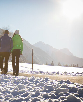
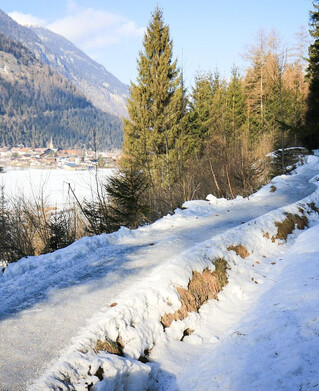
Valley hiking trail "Via Claudia Augusta" section Prutz - Fließ

From Prutz this hike leads over the bridge to the Entbruck district. The path leads right to the Pontlatzbrücke bridge, from there immediately left along the Inntalradweg to the power station, then take the stairs on the right and cross the main road. It follows a cart path to Fließ on the right (signposted).
324m
6.9km
Highest point
1071m
Start point
Prutz
End point
Fließ

Similar Tours

Medium
965m | 6.5h | 14.8km
Hiking tour
Platzertal - Lahnkopf - Gschnair Alm
Begin: Tscheylücke Pfunds
End: Greiter Säge
Difficult
893m | 6.08h | 14.6km
Hiking tour
Zum Schartlkopf
Begin: Bergstation Bergkastel
End: Schartlkopf
Medium
263m | 2h | 4.4km
Hiking tour
Rundwanderung Ögghöfe
Begin: Infobüro Kaunertal
End: Infobüro Kaunertal
Easy
204m | 1h | 3.9km
Hiking tour
Radurschlalm
Begin: Parkplatz Wildmoos
End: Raduschlalm
Difficult
830m | 5.5h | 10.6km
Hiking tour
Dr. Angerer Höhenweg
Begin: Falkaunsalm
Easy
426m | 3.5h | 7.5km
Hiking tour
Sellesköpfe
Begin: Lochmühle
End: Mutzkopf Talstation
Medium
1353m | 8h | 15km
Hiking tour
Gamortal - Schartlkopf
End: Nauders
Difficult
516m | 11km
Hiking tour
Schnadiger Weiher (Kaunerberg)
Begin: Kaunerberg
End: Kaunerberg