Running | Trailrunning
Trailrunning - Anton-Renk
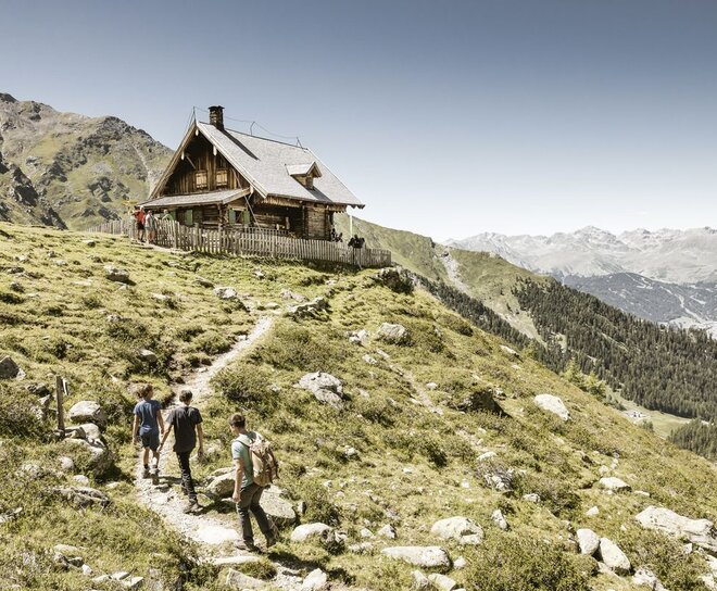
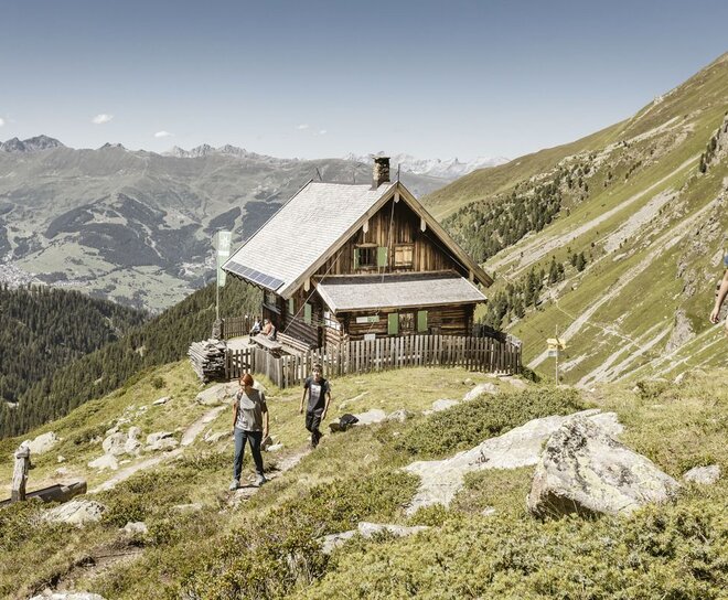
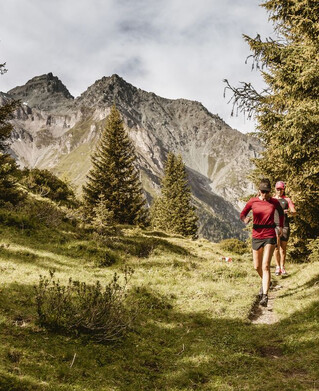
The tour has several options for boarding, once directly at the Fendels valley station in the direction of Wiener Hütte or at the Capuchin monastery. We start at the Capuchin monastery, we take the side road up towards Gfrans and into the forest area and towards the Calvary. The Waldsteig runs up to the road to Gfrans. We continue on to the last bend before the village of Gfrans, before we take a forest path in the direction of Spieleebene and Stalanzer Alm. Once you arrive at the Stalanzer Alm, the tour continues and runs on the right-hand side towards the Anton Renk Hut. Some serpentines have to be mastered before you reach the Anton Renk hut. The route continues on a relatively flat path towards Zirmesköpfle, then down towards the Fendler Alm. After the alpine pasture, the trail continues on another trail down towards Sauregg and then on a field path towards the ascent of the Fendels cable cars. Follow the mountain path until you reach the Fendels valley station. Once you reach the valley station, cross the bridge of the Geschendtbach stream and immediately afterwards turn left uphill towards the Wiener Hütte. Follow the Herrensteig until you get back to the village.
tour2
1542m
22.6km
Highest point
2256m
Start point
Ried Kapuzinerkloster
End point
Ried Kapuzinerkloster

