Hiking tour
Kobler Alm - Bergwiesen - Hahntennenberg - Ochsenberg


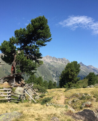
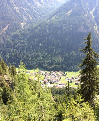
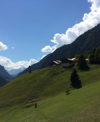
Drive from Pfunds up the Kobl to the Kobler Alm car park. Along the alpine path, through lush pastures, up to the alp where you have a wonderful view of Pfunds and the surrounding mountains. From the Kobler Alm starts a fantastic high-altitude hiking trail, across the Kobler mountain meadows No. 22, where a narrow, slightly ascending path to Hahntennenberg starts. Wonderful views of Pfunds and its surroundings. After a short rest, the trail continues over the meadows and mats on the left, slightly descending over the lush pastures to the Ochsenbergalm (not managed). From here it goes back to Pfunds.
Tip: every Friday a hiking bus goes up the Kobl
Tip: every Friday a hiking bus goes up the Kobl
tour1
8:0h
769m
18.3km
Highest point
2249m
Start point
Parkplatz Kobler Alm
End point
Infobüro Pfunds