Hiking tour
Platzertal - Lahnkopf - Gschnair Alm


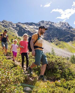
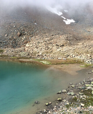
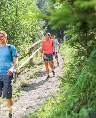
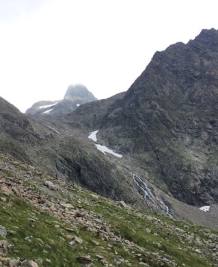
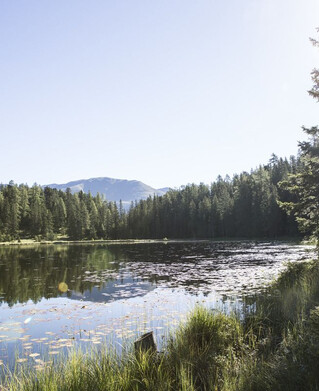
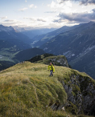
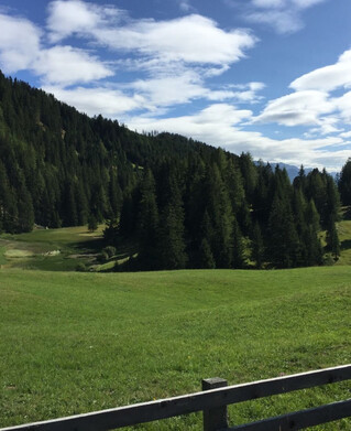
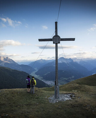
Drive to Greit up to the Tscheylücke. From there the path leads through the beautiful high valley past the Maria Schnee chapel to a fork in the road. Here the path branches off to the right towards Platzertal. Follow the signposting always towards Platzer Alm. Pass the dilapidated buildings of the ore and silver processing and continue to the alpine pasture. The Platzer Alm is the highest altitude where milk, butter and cheese are processed. From the alpine pasture a marked path in the meadow area leads gently up to the back or saddle. The trail then descends slightly to the ground and finally climbs slightly to the summit of the Lahnkopf. The descent is often through meadows and the path leads to the Gschneier Alm, which is located in a clearing. Finally, the path leads gently down through the forest to the Greiter Säge.
Tip: Every Thursday a hiking bus drives to the Tschey
Tip: Every Thursday a hiking bus drives to the Tschey
tour1
6.5:0h
965m
14.8km
Highest point
2537m
Start point
Tscheylücke Pfunds
End point
Greiter Säge