Hiking tour
Muttakopf - Kreuzjoch - Kobler Alm


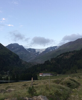
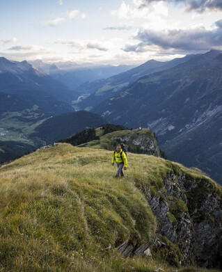
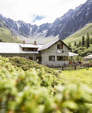
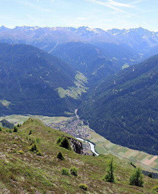
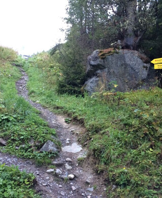
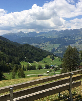
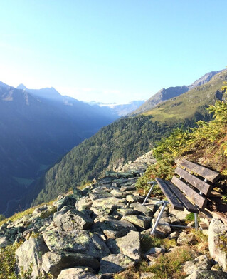
From Spiss the trail passes Haus Bergfeld and follows a forest path until the sign "Muttakopf Weg Nr. 9) points to the left to a trail. Continue with the same markings to the Muttakopf 2,525 m. From there there is a wonderful view of the neighbouring village of Samnaun, Nauders, Reschensee and the surrounding Ötztal Alps. From the summit cross it continues slightly uphill along the ridge to "in der Keil" 2,679 m, below the Rotspitze to the summit cross of the Kreuzjoch 2,698 m. After a short rest, the trail leads from the stalked descent to the Kobler Alm. The way back leads along a forest and meadow path back to the hamlet of Gstalden - further on to the Tobel (valley) - over the Heusattel to Spiss.
tour1
8:0h
1267m
16.9km
Highest point
2693m