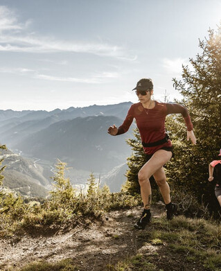
Running | Trailrunning
Trail - Parcour - Mutzkopfrunde


At the valley station of the Mutzkopf lift, the route is initially relatively flat in the direction of the Swiss border. Once you have reached the Swiss border, the trail continues on perfect slopes past the Schwarzsee and Grünsee lakes. The last part of the ascent then leads across extensive mountain meadows to the Großmutzkopf. If you still have some reserves, you should definitely make a detour to the Dreiländer Grenzstein (border stone)! Now the trail leads back into the valley. Through alternating sparse mountain forests and meadows you come to the Riatschhof farm, after which you only have to follow the road back to the starting point.
tour1
690m
12.6km
Highest point
1743m
Start point
Talstation Mutzkopflift
End point
Talsta