Walkway | Running tracks
Tösens - Lindachweg - Steinbrücke - Tösens


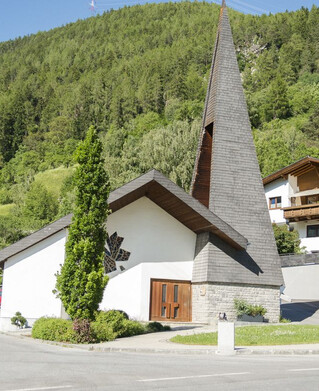
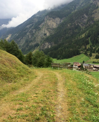
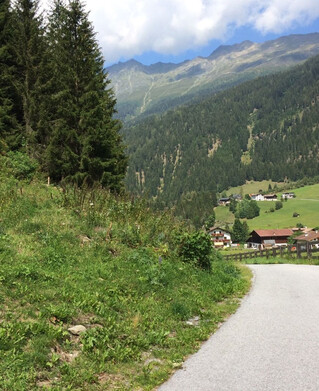
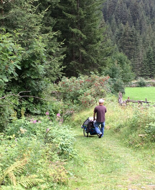
At the parish church of Tösens turn left, direction Obertösens. At the crossroads to Übersachsen, the path below the farm of the Forcher family branches off left to the Lindachweg. This is a first a little narrow, then a wide path through the forest, above Tösens, which ends on the old federal road. After a walking time of about five minutes on the old federal road in the direction of Ried, there is a turn-off to the left to the district Steinbrücke. From here it goes on an asphalt road back to Tösens.
164m
6km
Highest point
1001m
Start point
Pfarrkirche Tösens
End point
Steinbrücke