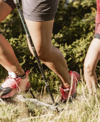
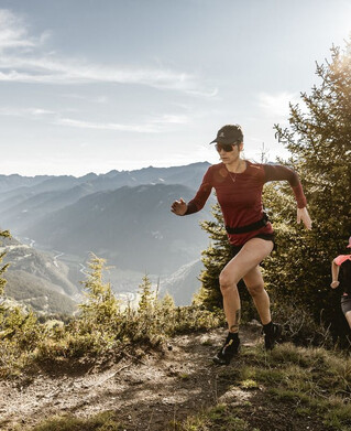
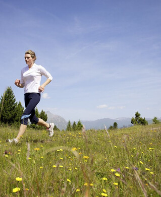
Trailrunning
Nauderer Höhenweg


From the starting point at Parditsch in Nauders, follow the trail to the inn of the same name and on to the Labaunalm. Now turn south and follow the trail to the Labauner Köpfl. The long ascent has now been overcome and you can really enjoy the trails with a great view of Lake Resia and the surrounding mountains.
and the surrounding mountains. At the Piengalm, after about 14 km, you can get something to eat before the high trail to the Bergkastel rises slightly again. After the Stieralm it goes back down into the valley.
and the surrounding mountains. At the Piengalm, after about 14 km, you can get something to eat before the high trail to the Bergkastel rises slightly again. After the Stieralm it goes back down into the valley.
tour1
1344m
22.7km
Highest point
2222m
Start point
Parditsch Nauders
End point
Reschen