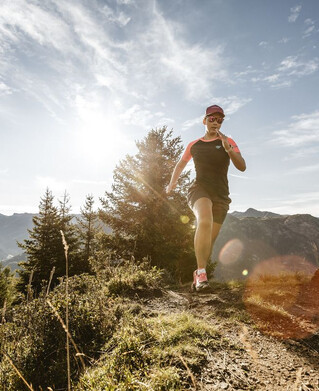
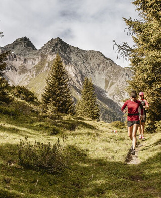
Running | Trailrunning

Sellesköpfe 1.644 m

Start at the valley station of the Mutzkopf lift and walk along trails to Norbertshöhe. After crossing the road, follow a forest path until you soon reach the historic Kaiserschützenweg. Here you should definitely take the time to look at the information boards on the First World War. When you reach the northernmost point of the loop, you have a magnificent view of the Upper Inn Valley! Now follow the signs and return to Norbertshöhe and the starting point via easy trails.
tour1
560m
9km
Highest point
1653m
Start point
Mutzkopf Talstation
End point
Nauders

Similar Tours

Medium
1344m | 22.7km
Running
Nauderer Höhenweg
Begin: Parditsch Nauders
End: Reschen
Medium
1041m | 15.4km
Running
Trailrun - Platz-Gschnair
Begin: Tscheylücke Pfunds
End: Tscheylücke Pfunds
Medium
1344m | 22.7km
Running
Nauderer Höhenweg
Begin: Parditsch Nauders
End: Reschen
Medium
2218m | 19.6km
Running
Skyrun
Begin: Nauders Parditsch
End: Bergkastel Bergstation
Medium
428m | 8.8km
Running
Trailrun - Klammsteig - Greit
Begin: Infobüro Pfunds
End: Infobüro Pfunds
Medium
1375m | 14.1km
Running
Dr. Angerer Höhenweg
Begin: Parkplatz in Platz
End: Feichten
Medium
694m | 12.9km
Running
Trailrun - Spiss - Alpe Zanders
Begin: Spiss
End: Spiss
Medium
321m | 6.3km
Running
Trailrun - Faggenrunde
Begin: Fendler Straße
End: Faggenpromenade