Hiking tour

Bergkastel mountain hiking trail

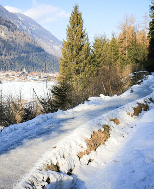
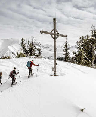
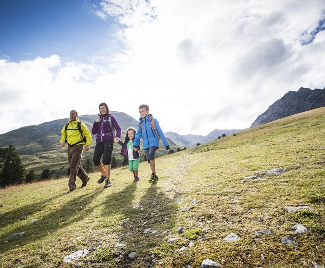
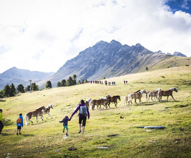
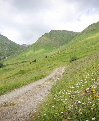
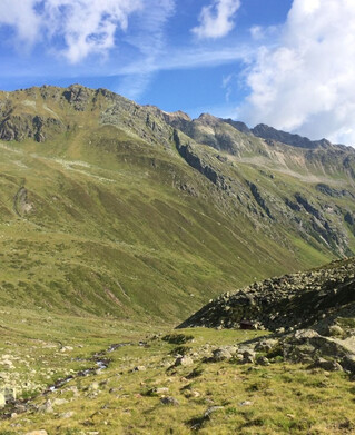
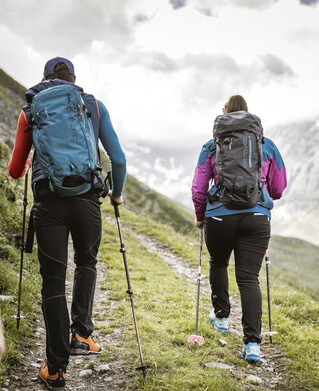
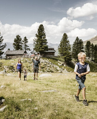
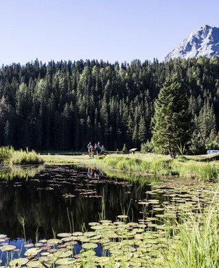
This easy circular route impresses with variety and great views below and above the tree line. The hike begins at the Bergkastel mountain station and leads along the horizontal alpine hiking trail through the old Swiss pine forest to the Almboden pastures. It takes about 40 minutes to walk to the alpine pasture. Hiking trail no. 35a begins here with a slight ascent. Passing the Alptal valley you come to a beautiful viewpoint above the tree line. Then the route goes over alpine pastures, past the “Öttalis Kreuz”, to the top station of the Goldsee lift and via Trail no. 20a down to the top station.
 
1:0h
85m
2.6km
Highest point
2251m
End point
Bergstation Bergkastelbahn

Similar Tours

Difficult
765m | 5h | 6.7km
Hiking tour
Weißseespitze über den Westgrat (3.526 m)
Begin: Parkplatz Gletscherrestaurant Weißsee
End: Weißseespitze
Medium
457m | 5h | 10km
Hiking tour
Anton-Renk-Hütte - Panoramasteig - Stalanzer Alm
Begin: Ried Seilbahn
End: Stalanzer Alm
Easy
150m | 4h
Hiking tour
Mösle - Pflanzgareten - Sclamishot
Begin: Nauders
End: Martinsbruck
Medium
263m | 2h | 4.4km
Hiking tour
Rundwanderung Ögghöfe
Begin: Infobüro Kaunertal
End: Infobüro Kaunertal
Medium
665m | 7h | 15.7km
Hiking tour
Mataunkopf (& Ganderbildspitze)
End: Nauders
Difficult
908m | 4.9km
Hiking tour
Glockturm
Begin: Parkplatz Weißsee
End: Glockturm
Difficult
1024m | 7h | 14.6km
Hiking tour
Fluchtwand über Valdigastei
Begin: Nauders Dorf
End: Fluchtwand
Easy
82m | 1h | 1.7km
Hiking tour
Seeles Seen
Begin: Parkmöglichkeit Riffeltal (an der Gletscherstraße)
End: Seeles Seen