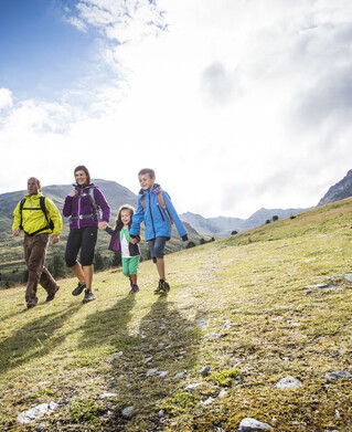
Hiking tour
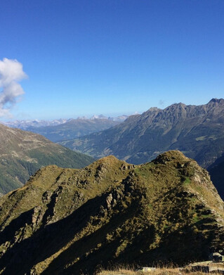
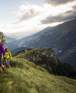
Schmalzkopf


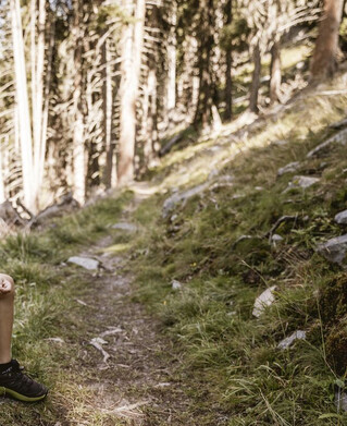
Drive to the Radurschl to the Kaltenwirt car park. Here the path starts off to the right into the forest, after which the path branches off to the right, always following trail marker No. 26. Past the drinking water spring of Pfunds. Follow the markings up to the Lukaskreuz here and continue with trail nr. 26 to the Schmalzkopf. Descent would be possible via the Labaunalm to Nauders.
Tip: every Tuesday a hiking bus goes to the Radurschl
Tip: every Tuesday a hiking bus goes to the Radurschl
tour1
1319m
6.7km
Highest point
2717m
Start point
Parkplatz Kaltenwirt
End point
Schmalzkopf